Here we show you amazing images of Earth taken from space.

NASA helped create a web-based tool that helps park managers better understand the impact of outdoor lighting and noise on animal species in national parks. Photo: NASA.
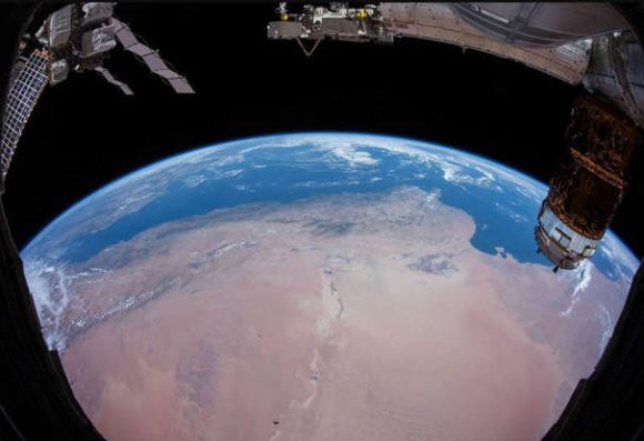
The best pictures of Earth from space. Photo: NASA.
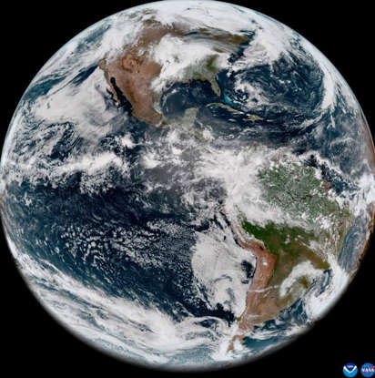
The National Oceanic and Atmospheric Administration (NOAA) shared this image of the Western Hemisphere. Photo: NASA.
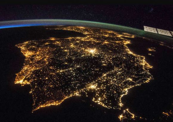
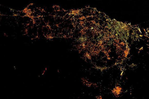
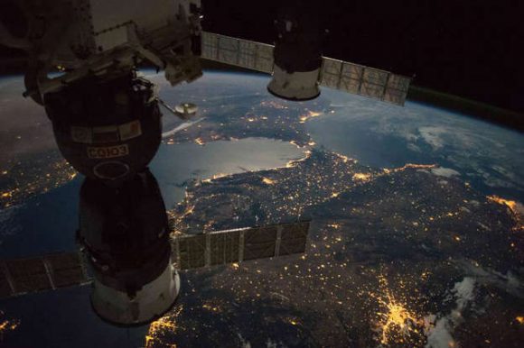
Great image from the International Space Station where we can see Portugal, Spain and part of France at night. Photo: NASA.
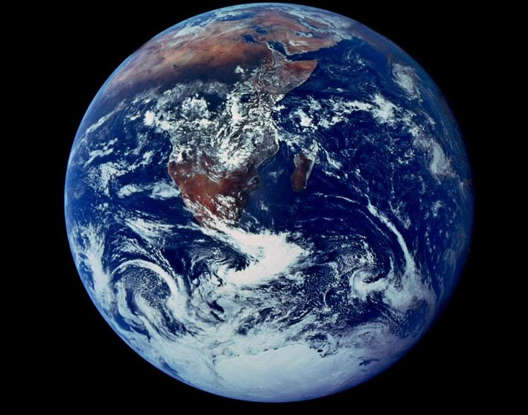
It was taken by Apollo 18 and is one of the most reproduced images in history. It was the first picture in which we saw the whole Earth lit up. Photo: NASA.
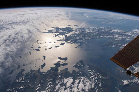
This view from the top of Turkey overlooks the Aegean Sea, Greece and the Ionian Sea where Sicily and Italy’s shoes are barely visible. Photo: NASA.
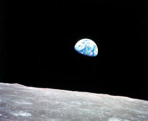
The first image of planet Earth from the orbit of the moon (Apollo 8 did not land on the moon). Photo: NASA.
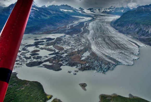
In Alaska, glaciers cover 5 percent of the land which loses a lot of ice and contributes to sea level rise. Photo: NASA.
The International Space Station viewed a night view from the orbit of Europe’s most active volcano, Mount Etna, which erupted on March 19, 2017. Photo: NASA.

North and South America. Photo: NASA.
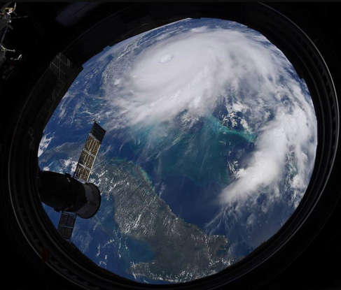
NASA astronaut Christian Koch captured this image of Hurricane Dorian from the International Space Station. Photo: NASA.
The Strait of Gibraltar, where we also see southern Spain and northern Africa. Photo: NASA.

Grace Montgomery writes for News Collective, covering news, politics, business, technology, sport, entertainment, and lifestyle. She focuses on clear, reliable reporting and useful information, helping readers stay informed about current events, emerging trends, and stories that matter.